
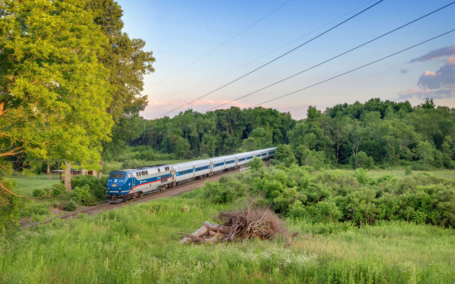
I’ve spent many months posting various panoramas of the Harlem Line stations. I’m now excited to be able to post the entire Harlem Line, viewed in panoramas. You can watch as the farmland and rural greenery morphs into the suburbs, before changing into the concrete jungle of New York City. If you want to see more photos from each of the stations, just click on the picture. Anybody have a favorite panorama? I think my two favorites are Tenmile River and Harlem-125th Street – the two of them are polar opposites in terms of the scenery visible while taking a ride down New York City’s oldest railroad.


For those who like maps, I place all of my panoramas on a Google map, which you can see below. I also add photos to Panoramio, which provides the photos for Google Earth.
[cetsEmbedGmap src=http://maps.google.com/maps/ms?ie=UTF8&hl=en&msa=0&msid=201855341830642549339.000490912cdb96bd7414e&ll=41.58258,-73.418884&spn=1.756506,2.622986&t=h&z=9 width=553 height=740 marginwidth=0 marginheight=0 frameborder=0 scrolling=no]
My favorites are Scarsdale, Wakefield, and maybe Woodlawn. :)
Seriously, I do enjoy the grassiness and sky of Tenmile River. Oh, and there is something about the small size of Appalachian Trail that I like.