3

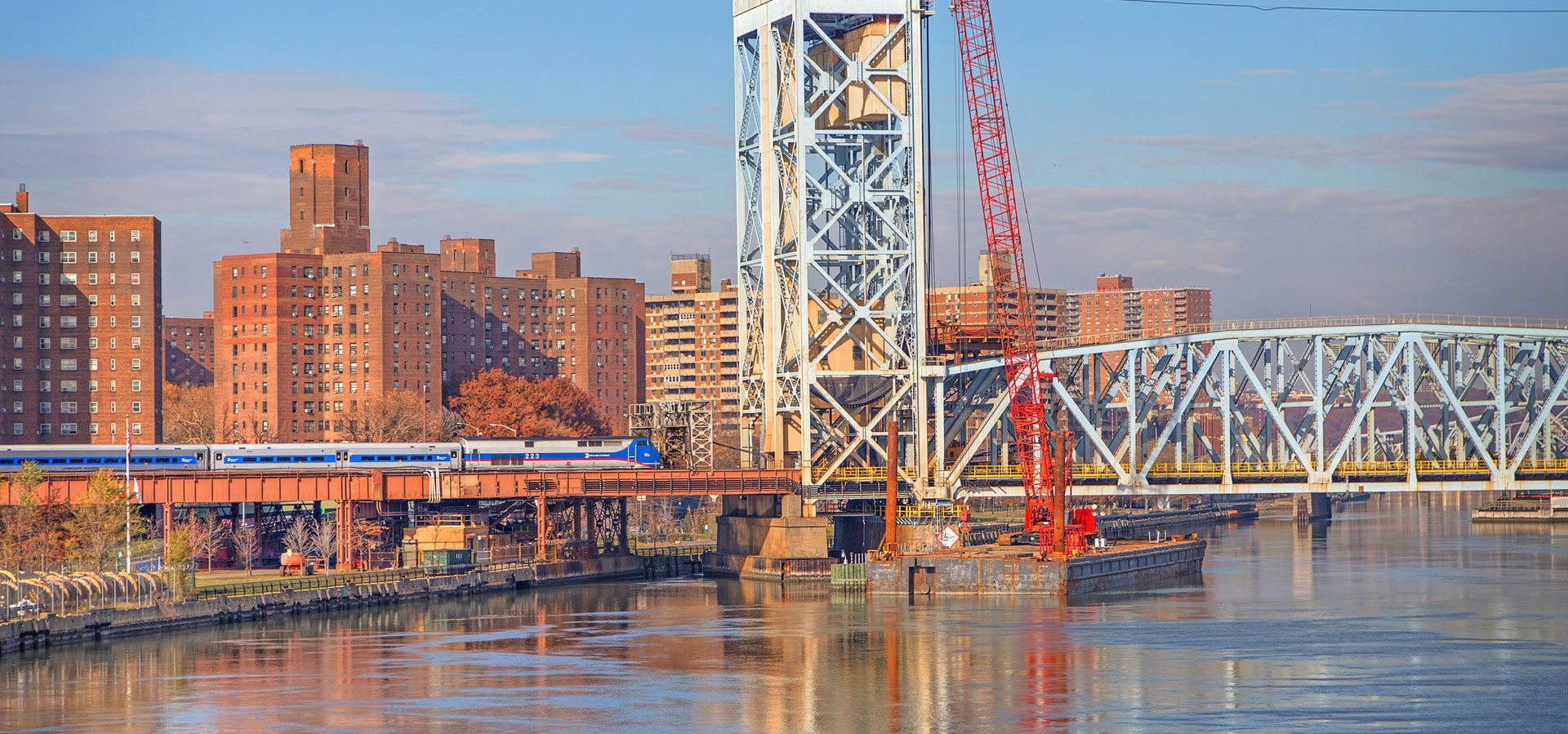
Sending Postcards from the Harlem Line (Part 7) Trains History Photos

Admit it, readers – somewhere in the back of your head you were wondering when I’d get around to showing you more railroad-themed postcards. My postcard collecting addiction has been well documented, and roughly every other month I do a new post full of my newly acquired cards. Today’s lineup includes Amenia, one of the abandoned Upper Harlem stations, and Towners, another abandoned station. There are also a few cards of station buildings still around today, like Katonah, Bedford Hills, and Scarsdale. Again, I must sincerely thank Steve Swirsky for his wonderful contributions to our extensive collection of postcards. The...

Read more »
3

The Harlem Line, in panoramas Photos Tuesday Tours

I’ve spent many months posting various panoramas of the Harlem Line stations. I’m now excited to be able to post the entire Harlem Line, viewed in panoramas. You can watch as the farmland and rural greenery morphs into the suburbs, before changing into the concrete jungle of New York City. If you want to see more photos from each of the stations, just click on the picture. Anybody have a favorite panorama? I think my two favorites are Tenmile River and Harlem-125th Street – the two of them are polar opposites in terms of the scenery visible while taking a...

Read more »
4

Tuesday Tour of the Harlem Line: Purdy’s (and bonus Copake Falls) Trains Photos Tuesday Tours

Several months ago I wrote about some of the names of the towns located along the Harlem Line, and how they have evolved over the years. Many of the names were taken from the families that owned the land, or perhaps donated it for the railroad to use, and the name had a possessive. For example, Brewster was known as Brewster’s after former land owners James and Walter Brewster. “Golden’s Bridge” was always a particular enigma, as the majority of use has evolved beyond the apostrophe (town signage does not use it, and the railroad stopped using it in 2003...

Read more »
8

Friday’s From the Historical Archive: Old Maps and Station Names Trains History

Some of the very first things that were added when I created the Historical Archives were maps I found thanks to the Library of Congress. It was interesting to see the network of railroads in the country grow in size exponentially through the 1800’s, and then later in the mid 1900’s crash and quite a few disappeared. There was one map, however, that caught my attention. That map lists a station along the Harlem Line: Golding’s Bridge. Was it a typo? In the back of my mind I had always wondered about the apostrophe thing. Is Goldens Bridge written properly...

Read more »
0

Tunnel Under the Tracks Photos

Obviously if you’ve ever been on the Harlem Line you know that the tracks run alongside various bodies of water. An astute observer can see the Kensico Dam in Valhalla… And around the stations of Purdy’s through Katonah if you look out you will notice the Muscoot Reservoir. Over the summer I purchased a small row boat in order to go out on the reservoir. The DEP is actually rather strict what varieties of boat can go out, and where the boats must be kept. My boat was assigned a spot up in Purdy’s, and it is named the Brazilian...

Read more »