
It seems that everyone today has a GPS navigator in their car. They’re wonderful little devices (in the hands of someone that isn’t an idiot), but they really make you wonder how in the heck anyone got around in the olden days, before GPSes. In fact, even the days before the GPS, where you’d type in your destination in MapQuest and you could print out instructions, seems dreadfully archaic. And even more so, on the road yesterday I saw a woman pulled over to the side consulting a map!
Back in 1907, as is quite obvious, there were no GPSes, thus people had to rely on maps and booklets, like the one I am about to post, to find their way around. But Emily, you say, a historic guide on how to navigate by car from New York City to Poughkeepsie has absolutely nothing to do with trains! Albeit true, the guide is nonetheless has a cursory relation to trains, in that it offers you a glimpse into the mindset of travel in the early 1900’s. Roads, quite frankly, are something we all take for granted (you didn’t build that!). Prior to World War Two, the roads in this country (especially for long distance and intercity) were hardly spectacular. That was certainly a factor in the popularity of railroads at the time. It wasn’t until cars became more common, and roads became far better, that trains lost their status as our preferred mode of transportation.
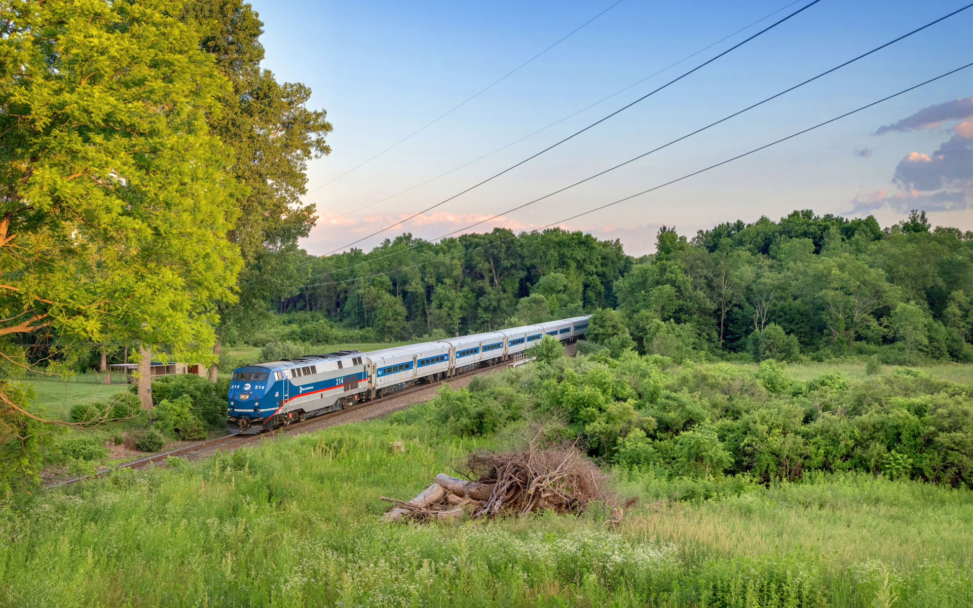
In all honesty, I never knew that booklets like this – showing turn by turn photographic instructions on where to drive – actually existed until I had discovered this. Since we’ve been covering the Hudson Line the past few months, I figured it was somewhat relevant, as this journey by car parallels both the Hudson River and the railroad, traveling from New York to Poughkeepsie. In some of the turn by turn photographs you can even see what are likely trolley tracks, something you definitely won’t see today. At minimum, it is an interesting look into the past!
 Â
  Â
  Â
  Â
  Â
  Â
  Â
  Â
  Â
  Â
  Â
  Â
  Â
  Â
  Â
  Â
  Â
Â
What a quaint little drive you just enjoyed! Of course, the fun part is trying to find what each of those places looks like today. Here’s one comparison:

A lot has changed in the past 100 years, huh?
Very interesting. Thanks. I did some Googling and found a picture of the actual booklet.
Amazing and also amazing that this is basically taking Route 9 aka the Albany Post Road, the entire way.
Well, maybe “an” Albany Post Road but not “the” Albany Post Road? There was (and is) an Albany Post Road in Ulster County.
Careful, you know roadgeek is the next step into the abyss. I have one of these books from the 20s I think (I haven’t looked at it in a while) called the Green Book (I think AAA also printed the Blue Book). No pictures in mine, just directions and advertisements, but covers all of NY I think. Interesting to see some of the routings. Danbury to Poughkeepsie isn’t at all the way you’d drive it today. Nice pictures in yours though.
I don’t actually drive a car… so the roadgeek thing probably isn’t going to happen ;)
And some things never change. Consider the subtle plugs for “the best garage in town” and “the best hotel in town”. Surely there was some compensation exchanged!
Emily: you NEED a Mustang GT convertable. Now! Zoom! Just don’t drive it on the ROW north (west) of Wassaic.