The “Death Note” of Chauncey Depew
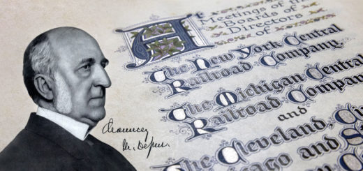
When someone brings up the topic of illuminated manuscripts, I tend to mentally picture an old monk sequestered in a monastery creating elaborate illustrations and fancy letters in a hand printed version of the...

When someone brings up the topic of illuminated manuscripts, I tend to mentally picture an old monk sequestered in a monastery creating elaborate illustrations and fancy letters in a hand printed version of the...
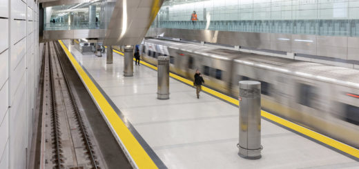
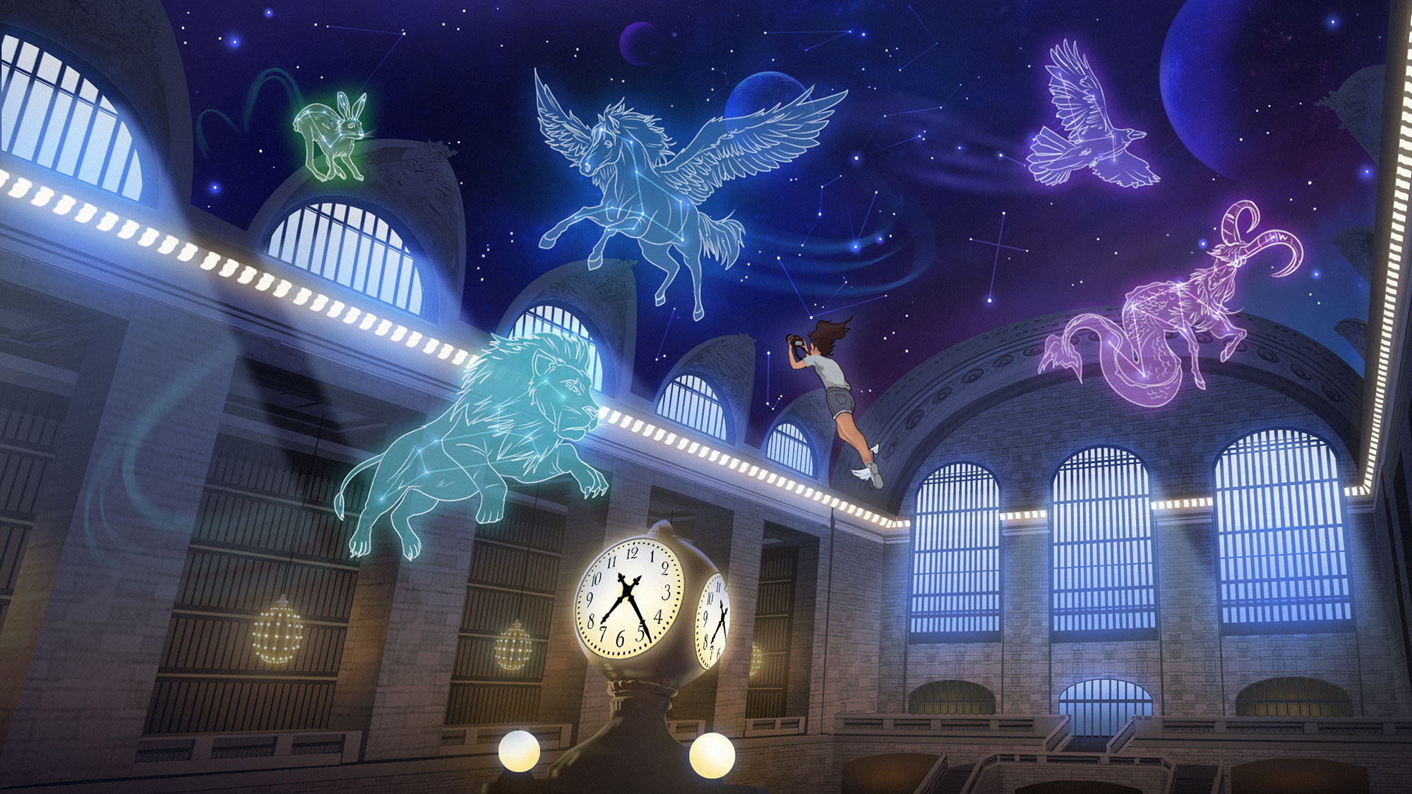
Today marked the (very) long awaited public opening of “Grand Central Madison” to the world. Construction to bring the Long Island Railroad to the east side of Manhattan first started in the late ’60s,...
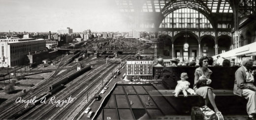
As a photographer, explorer, and now-New Yorker I’ve found myself curiously drawn to the work of Angelo Rizzuto. Anthony Angel, as he called himself, was a street photographer who captured the city from the...
As the Vietnam War raged and John Lennon ruffled feathers declaring the Beatles “more popular than Jesus,” the Giants were losing, bigly. 1966 may have been the year that Star Trek hit the airwaves...
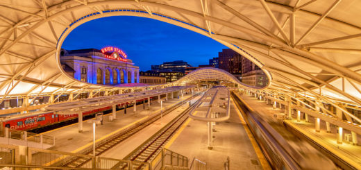
An amalgamation of several different aesthetic eras, Denver Union Station stands as an intriguing monument to railroading history. When gazing upon the building, it almost feels as if you could close your eyes and...
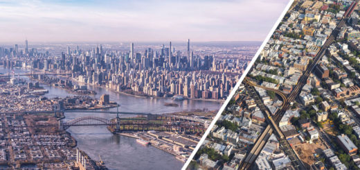
Beyond a few short jaunts on Metro-North weekly, and an occasional Amtrak train to Philadelphia, I haven’t been on trains very frequently this year. I have, on the other hand, been to LaGuardia Airport...