Wednesday Wandering: Blocks of the Waterbury Branch
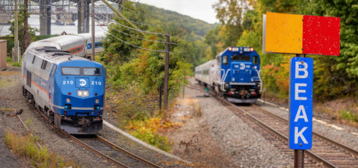
Some of you out there have been wondering if I still take train photos. While several of my more recent posts have been of a more historical nature, I am still frequently out snapping...

Some of you out there have been wondering if I still take train photos. While several of my more recent posts have been of a more historical nature, I am still frequently out snapping...
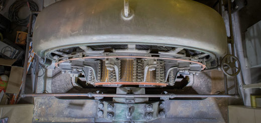
When you’re out taking train photos for over a decade, things are bound to change. You probably will end up upgrading your camera equipment somewhere along the way, and your workflow for editing photos...
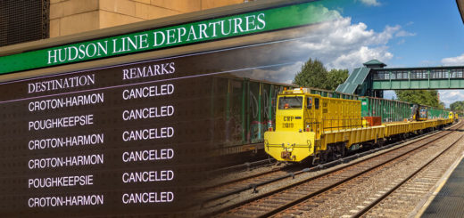
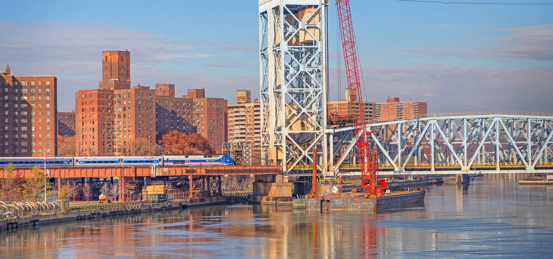
Last week’s Hurricane Ida brought massive winds and torrential downpours from Louisiana on up to the northeast, leaving a trail of destruction in its wake. In New York significant flooding adversely effected our entire transportation system—making highways and railroads resemble something more like waterlogged canals. Stuck vehicles were abandoned up and down the Bronx River Parkway and the Major Deegan Expressway, and the entirety of Metro-North service was suspended.
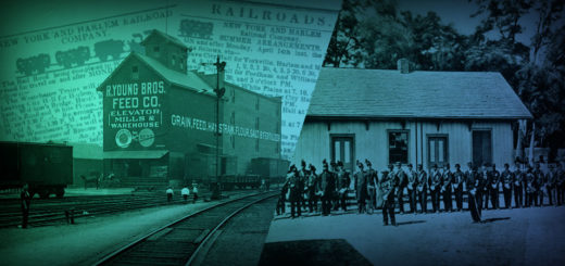
Amid loud booms of celebratory artillery fire and the rousing tunes of a brass band, hundreds of onlookers jockeyed for a spot alongside gleaming rails, cheering and popping champagne corks. The crowd’s cries rose...
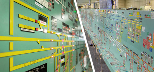
Throughout the city there are countless nondescript structures that garner little attention from passersby. Hidden within one of them is the Power Control Center of New York City’s subway system, which like many important...
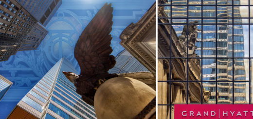
One of the joys of running this site is getting the chance to meet interesting people. When researching the supposed Nazi sabotage of Grand Central’s sub basement known as M42, I encountered a video...