The Life of a Railroad Shop Cat…
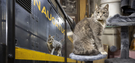
Have you ever wondered what a railroad shop cat does all day? I (finally) made a visit to see Turbo, the Naugatuck Railroad’s resident shop cat to see what he had to say about...

Have you ever wondered what a railroad shop cat does all day? I (finally) made a visit to see Turbo, the Naugatuck Railroad’s resident shop cat to see what he had to say about...
As evening descends upon the Peruvian mountainside, I find myself aboard the lone evening Urubamba branch train, where I pepper our train’s conductor, Daniel, with questions. Sitting alongside the cab of this DMU, with...
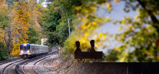
For more than thirty years Tom Nussbaum’s Workers and Travelers have adorned the Harlem Line stations of Hartsdale and Scarsdale. Born of the long American tradition of placing sculpted weathervanes atop barns and churches,...
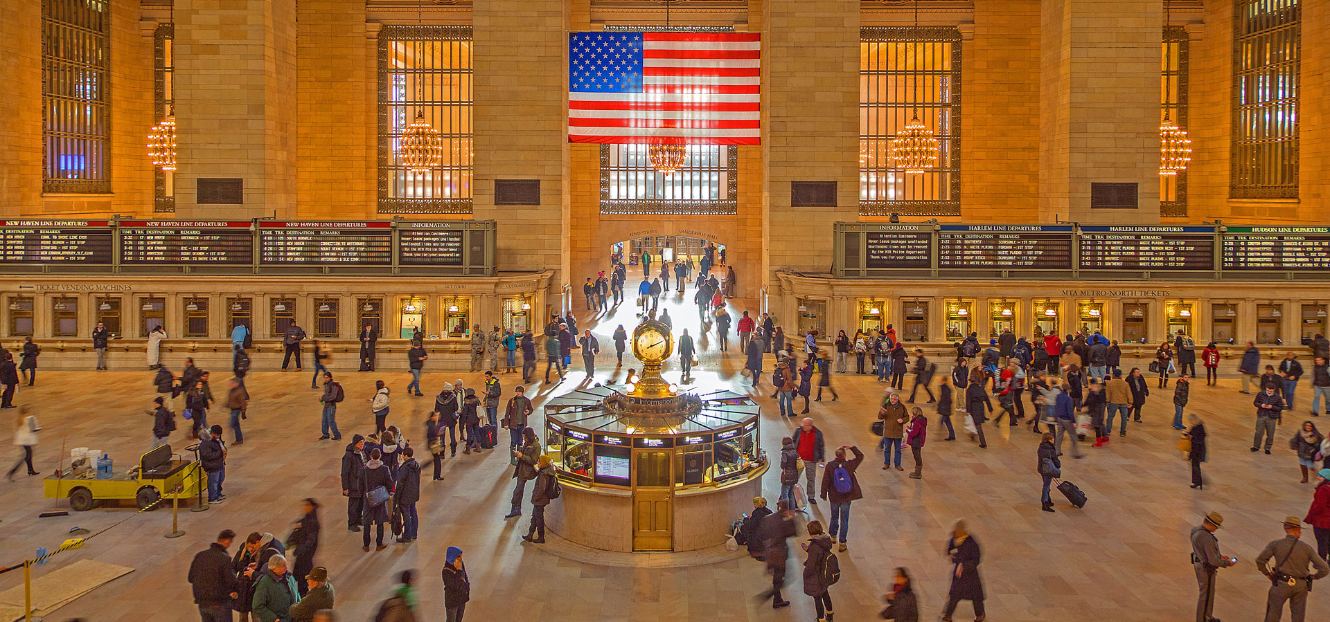
Today marked the (very) long awaited public opening of “Grand Central Madison” to the world. Construction to bring the Long Island Railroad to the east side of Manhattan first started in the late ’60s,...
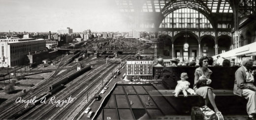
As a photographer, explorer, and now-New Yorker I’ve found myself curiously drawn to the work of Angelo Rizzuto. Anthony Angel, as he called himself, was a street photographer who captured the city from the...
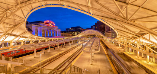
An amalgamation of several different aesthetic eras, Denver Union Station stands as an intriguing monument to railroading history. When gazing upon the building, it almost feels as if you could close your eyes and...