
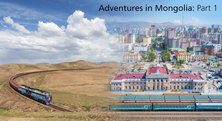
Earlier this year I posted a collection of photos from some of my travels around the United States, mostly on Amtrak. While riding the rails here at home is always fun, I’m always curious about foreign rail systems, especially some of the more remote ones throughout the world. One such remote system I got a chance to photograph was in Mongolia. Many people have at least heard of the famed Trans Siberian Railway, which stretches from Moscow to Vladivostok (a distance of nearly 6,000 miles) – but that part of the route isn’t the entire story. There are a few notable branch lines, the primary of which is the Trans Mongolian line, which separates from the Trans Siberian near Ulan Ude, Russia, and goes south through Mongolia and eventually ends in Beijing, China.
Last year I got a chance to both photograph and ride the line (yes, I have quite the backlog of photos to go through!) and experience the very interesting and unique landscape that is Mongolia. Beside riding the trains, I got to camp in a normal tent, as well as the traditional Mongolian ger, hike a little, ride a horse, and visit some of the tourist locations – like the giant statue of Chinggis Khan (Chinggis being the more exact transliteration of who we usually call Genghis in English).
Ulaanbataar
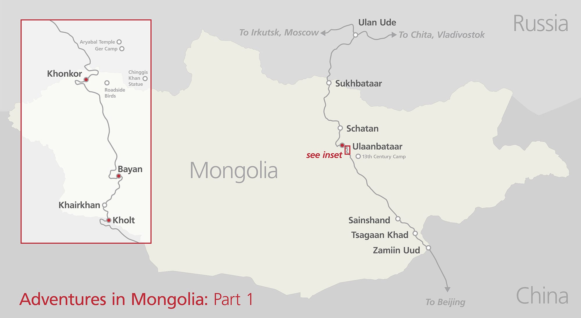
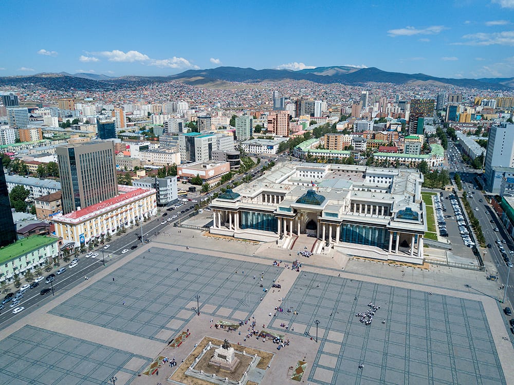
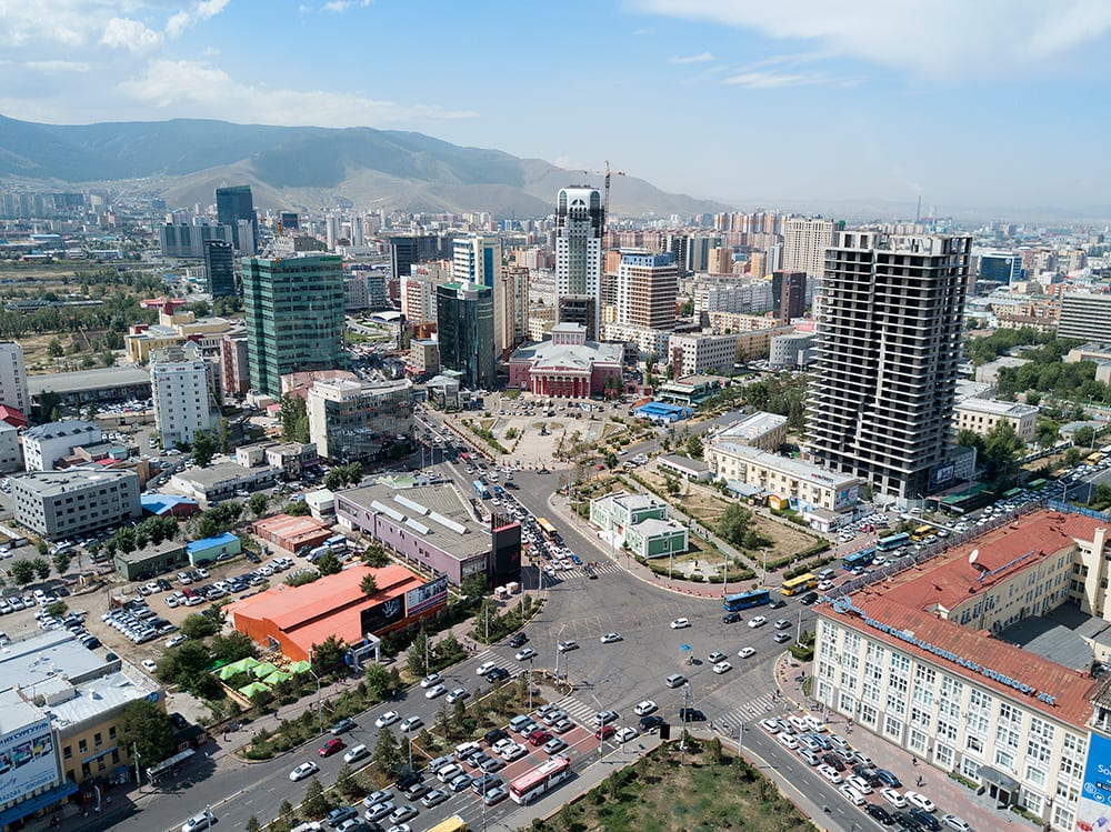
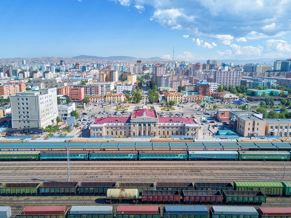
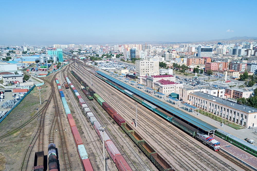
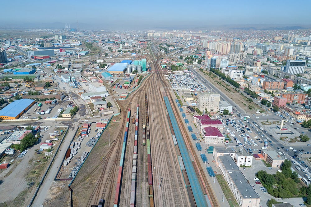
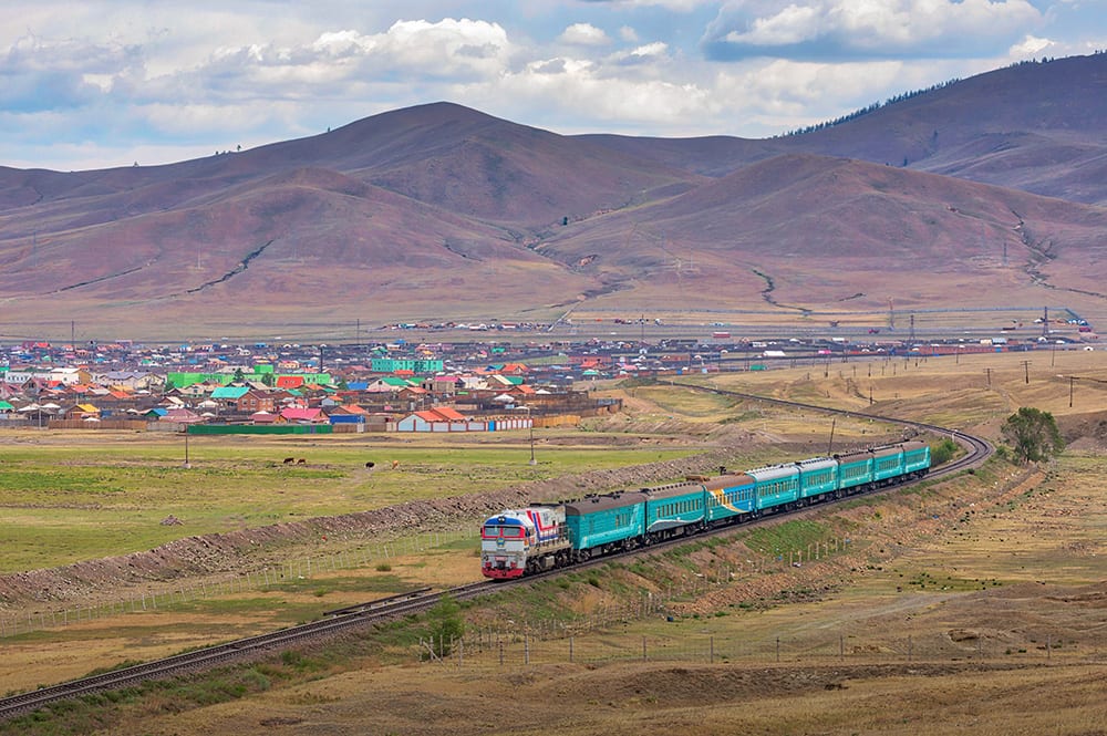
My Mongolian adventures started in Ulaanbataar, the capital city of Mongolia, which also happens to have the largest train station in the country. Not far from the station is also a locomotive heavy repair facility, which you’ll see in Part 2. Our photos here feature the city’s main Sukhbataar Square, as well as an intersection not far from the square – note the traffic congestion at the intersection, Mongolians are restricted from driving in the city on certain days based on the last number on their license plates. Despite the vastness of the country, nearly half of the entire population live in just this city. Additional photos show the main railway station and surrounding area in Ulaanbataar.
Khonkor
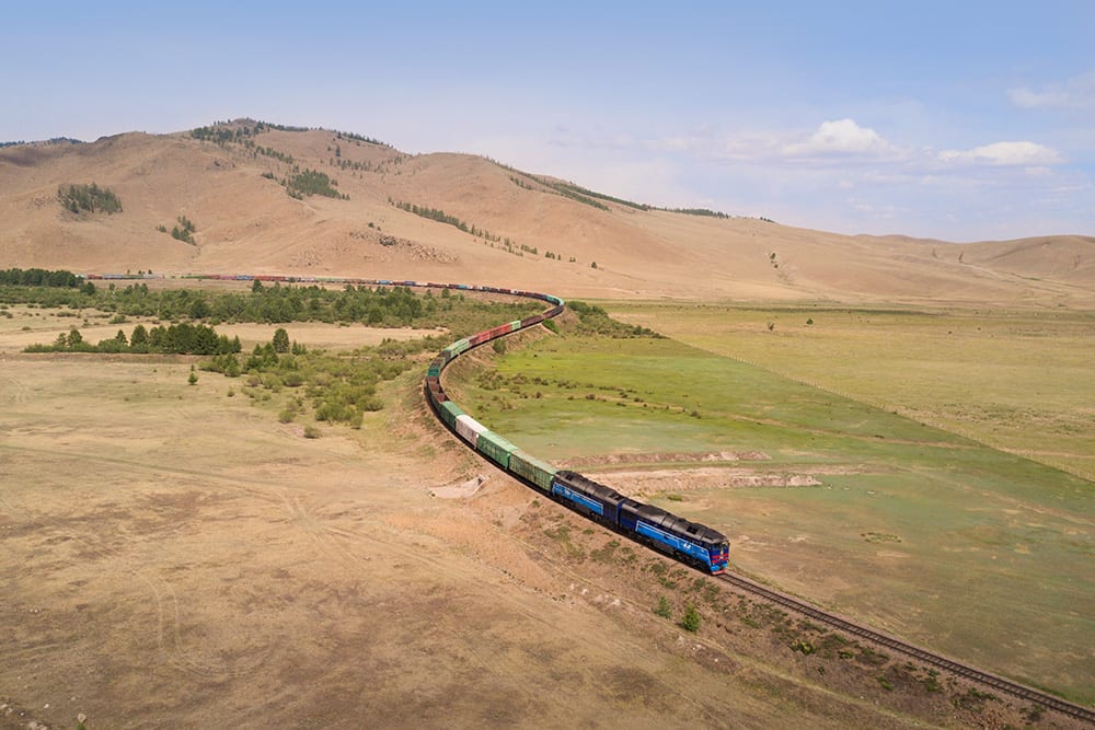
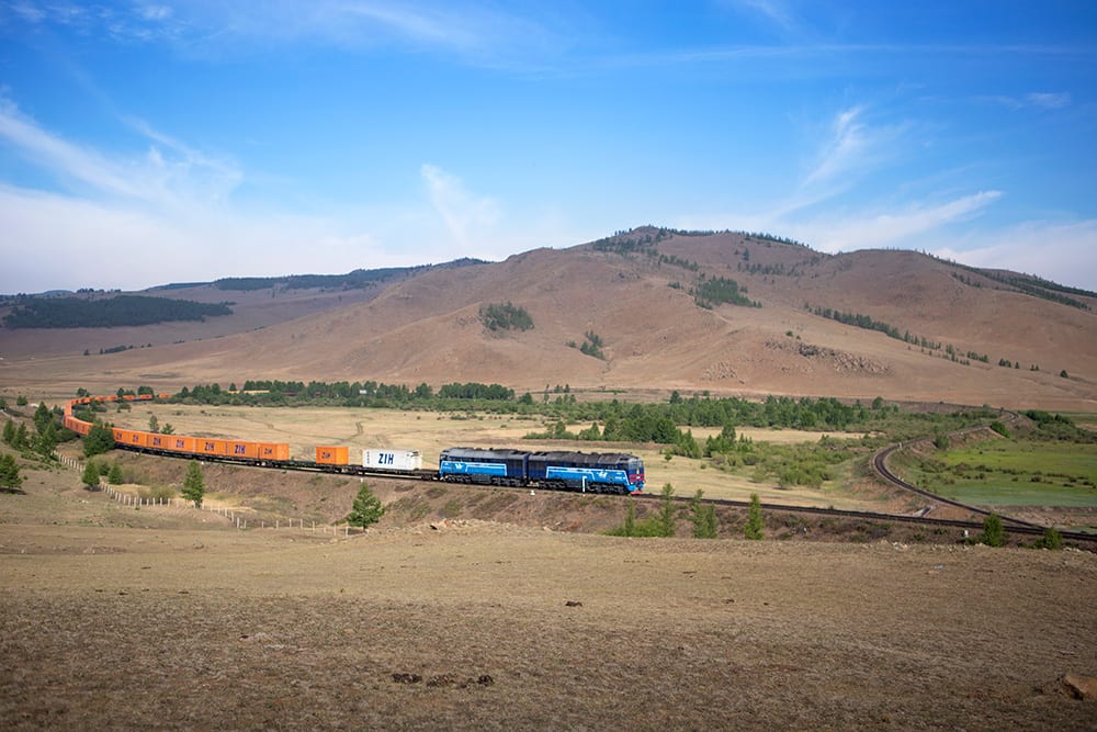
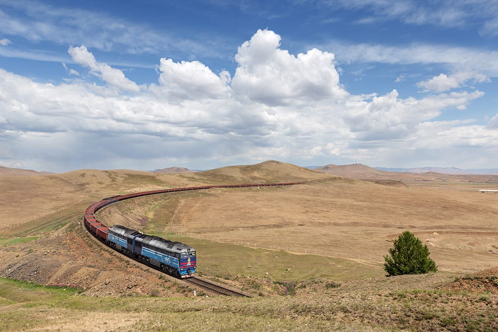
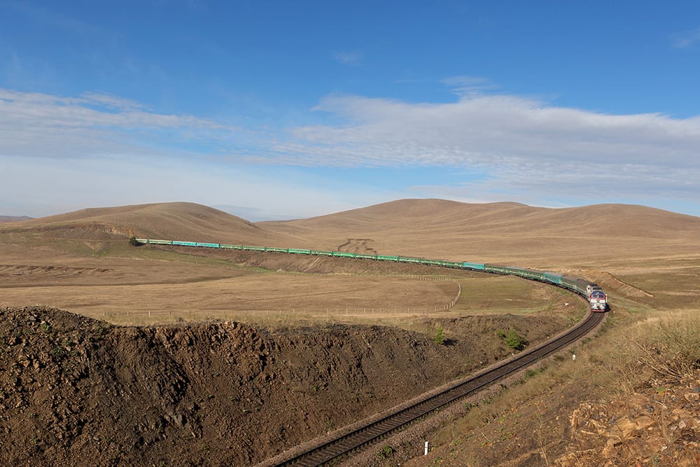
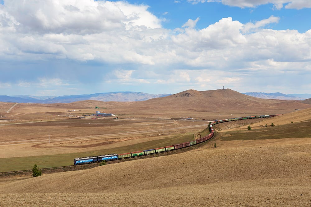
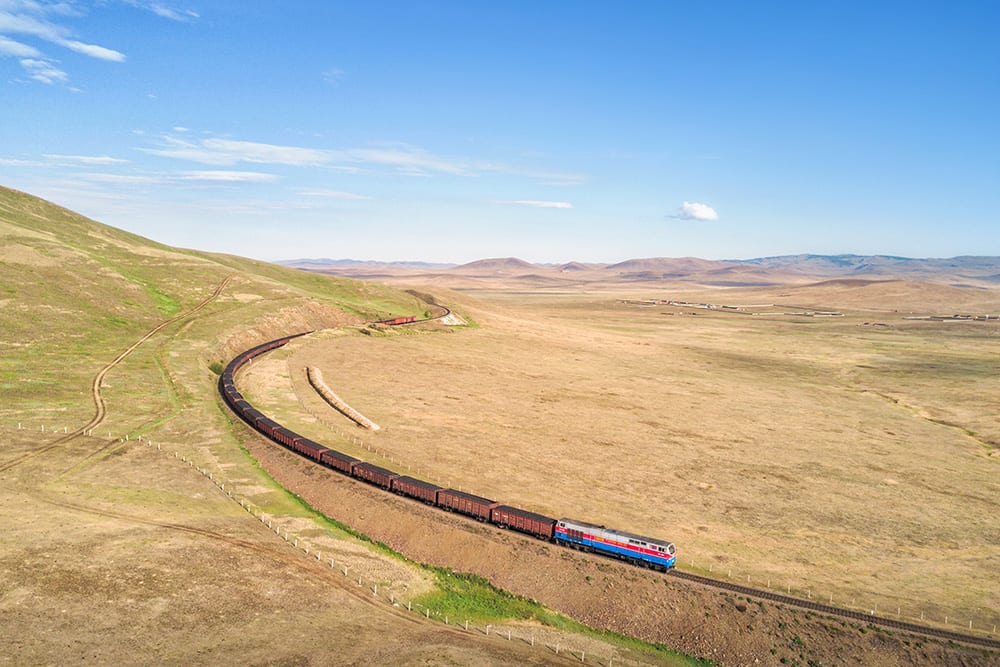
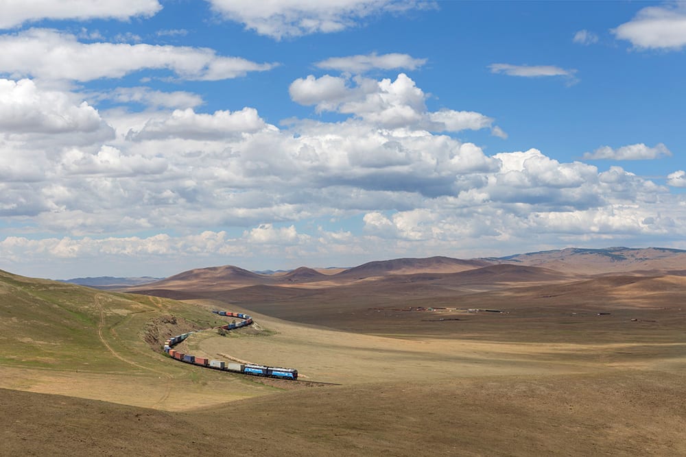
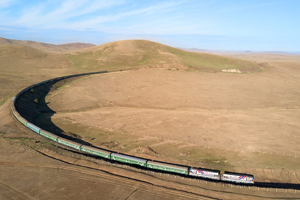
A lot of my travels didn’t take me far from Ulaanbataar, mostly because some of the most notable territory along the Trans Mongolian route is just south of the city. In order to traverse the mountainous territory south of the capital, the railroad curls in an almost never-ending set of switchbacks which are popular with photographers to the area. Khonkor is approximately fifteen miles southeast of Ulaanbataar, but over 600 feet higher in altitude. On approach to Khonkor, it skirts the towering Bogd Khan Mountain, which lies just south of the capital, and is visible in some of the photos below.
Bayan
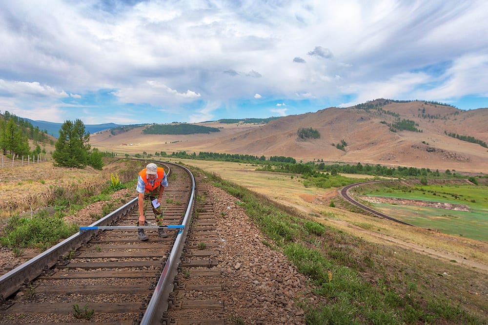
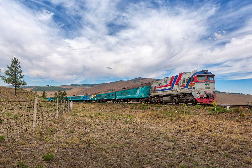
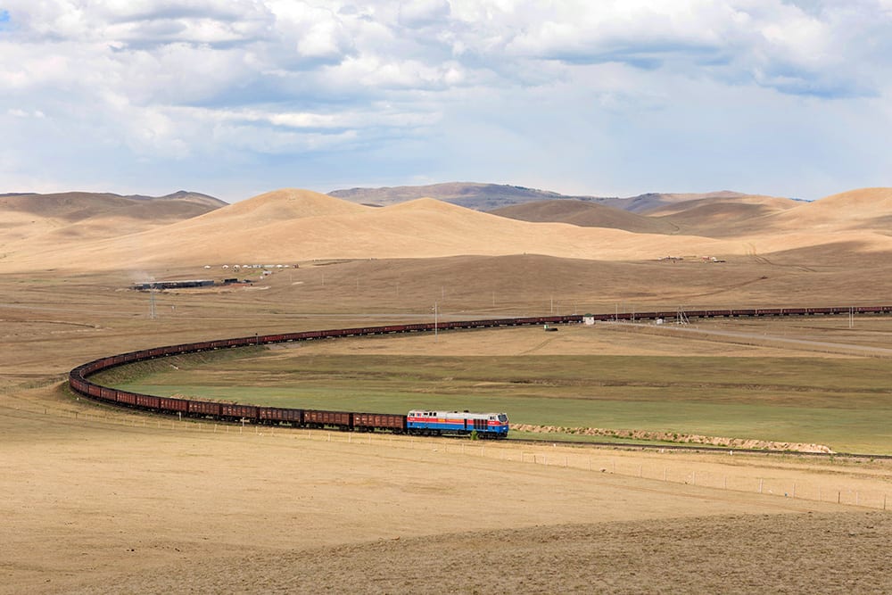
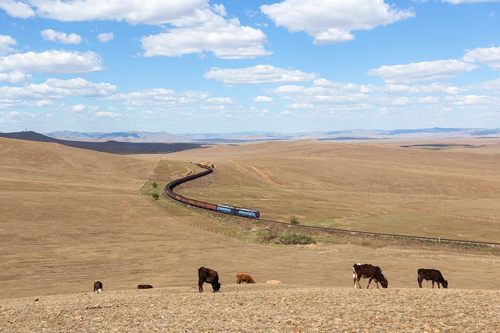
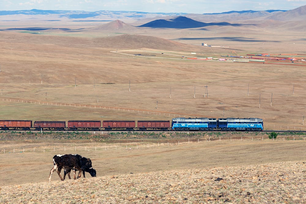
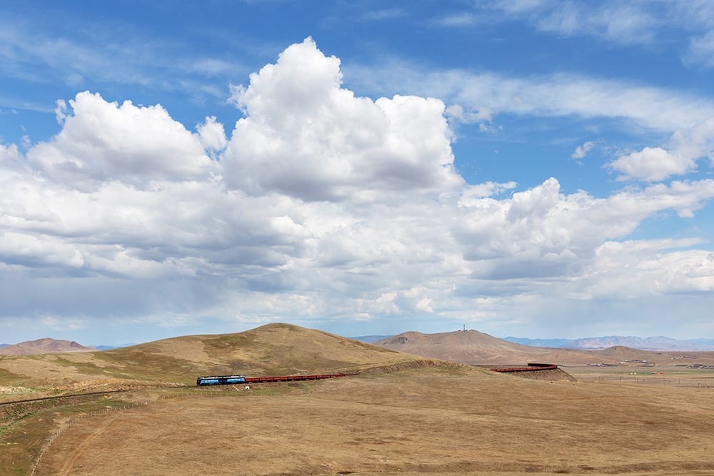
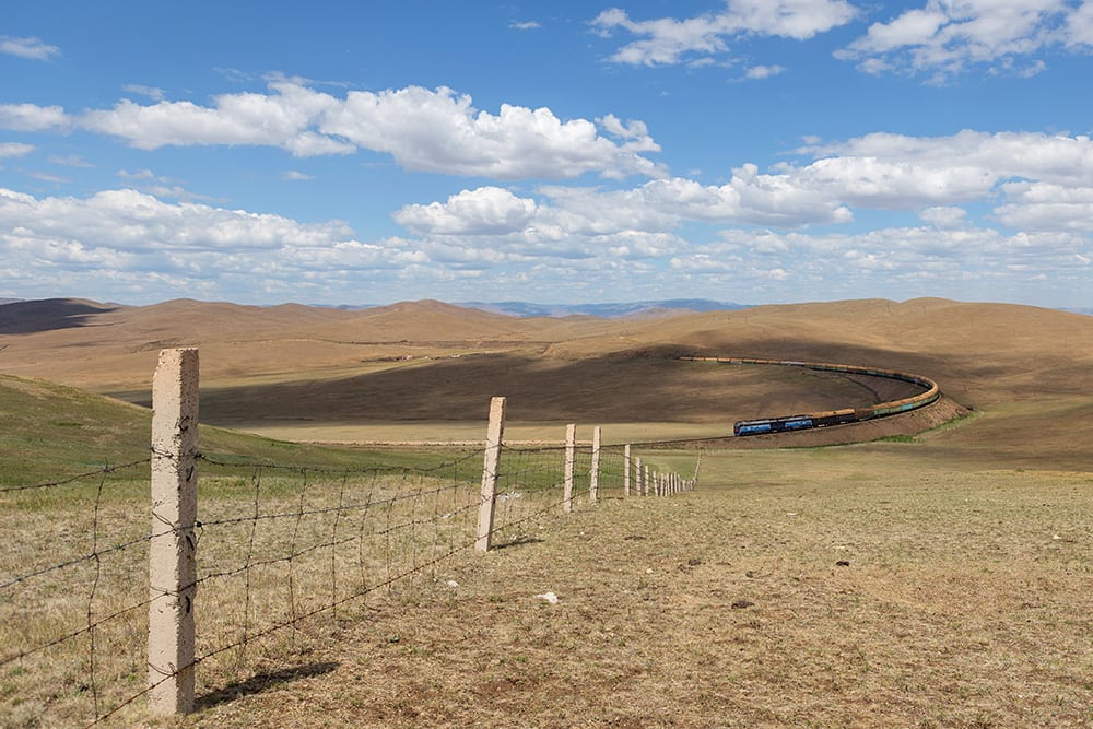
About nine miles south of Khonkor is Bayan, where more switchbacks have taken us up another 400 feet in altitude. Some of the mountains that the train passes through provide perfect perches for train watching, or if you happen to be a cow, usually a great place to graze. Unfortunately before my visit, little rain had fallen and much of the grass was brown (also unfortunately, the rain decided to fall frequently during my visit, even to the point of flooding Ulaanbataar. Apparently Mongolians have few qualms about fording rivers or flooded streets with their vehicles). The land here is known as the steppe – an area made up of grasslands and shrublands that form a crescent around the Gobi Desert, which is located further south on the Trans Mongolian line.
Kholt
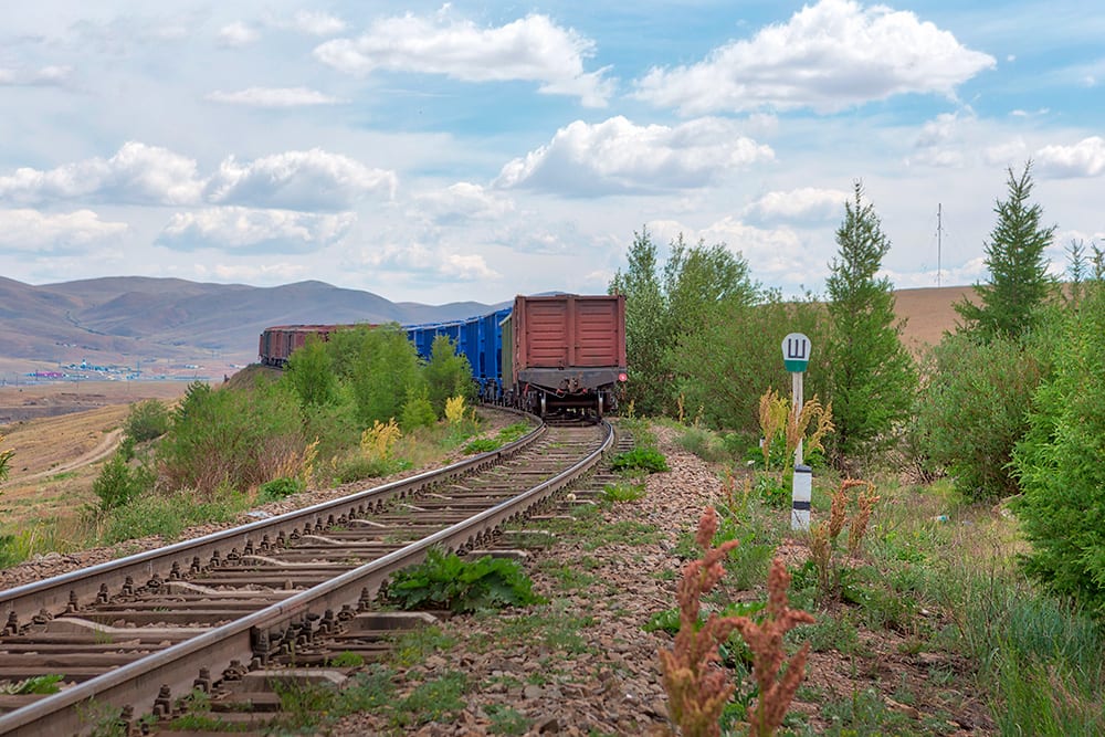
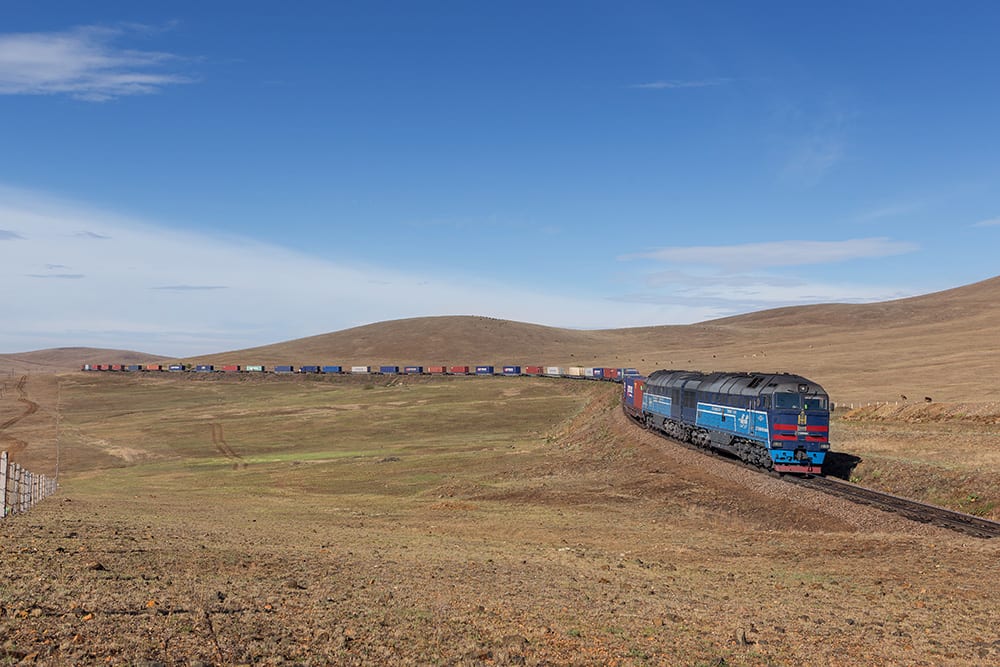
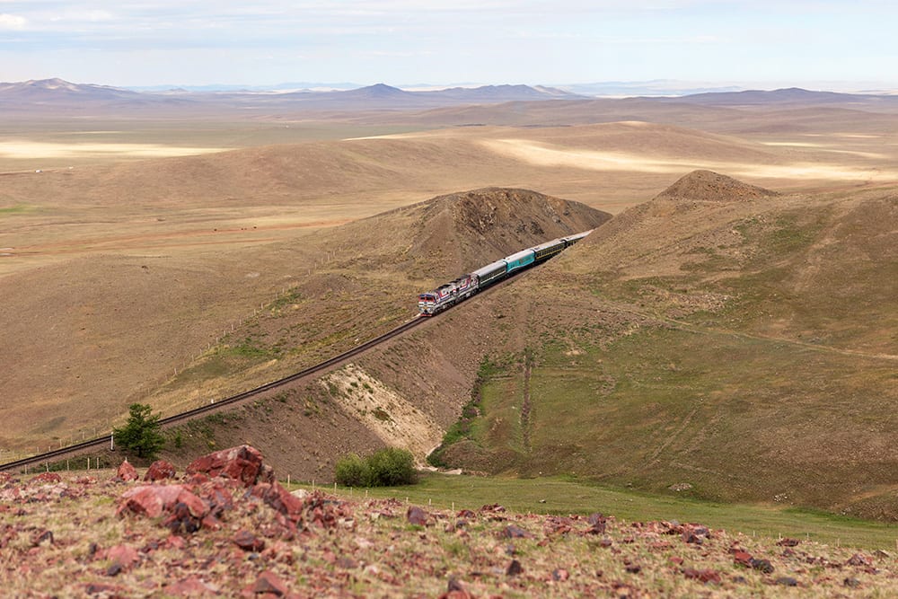
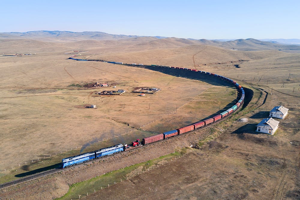
Six and a half miles south of Bayan you will find Kholt, about 260 feet higher than before. Just south of here is the highest altitude you’ll find along the Trans Mongolian, from here on out you’ll be slowly descending to 3,150 feet at the border with China. Similar to Bayan, this is steppe territory which is largely free of trees and pretty much anything else, for that matter. Looking at the desolate landscape makes you truly begin to understand how Mongolia is the most sparsely populated country in the world. In fact, one of the few dwellings you’ll see in the Kholt photos are two houses close to the tracks, which were formerly for railway workers to stay in, but are now unused.
Hopefully you’ve enjoyed this initial introduction to the Trans Mongolian route. I have two more parts planned for the future – the second, which will feature the Ulaanbataar shops, a train dispatching office, and some of the people that work on the railroad. The third installment will highlight the mountainous territory of the line from the air, and show some of the more remote places you can find along the rails.
Great Pictures!
Miss your almost weekly posts, though
☹ï¸
I know, I have to post more! :)
Yes you do. ;)
Beautiful, striking photography as usual. Love this post.