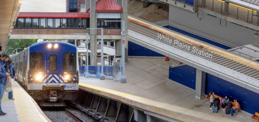
White Plains, Reflections
It has been nearly six years since I was a regular commuter on Metro-North. Though my origin point varied—starting off at Brewster, eventually moving to Goldens Bridge, then trying out Southeast, Pawling, and even...

It has been nearly six years since I was a regular commuter on Metro-North. Though my origin point varied—starting off at Brewster, eventually moving to Goldens Bridge, then trying out Southeast, Pawling, and even...
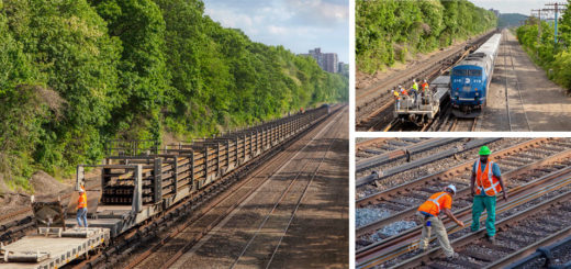
Throughout my travels, I frequently find myself fascinated with various types of railroad engineering. During my five years at Amtrak, I got the chance to observe quite a few distinctive machines devoted to the...
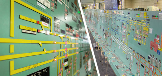
Throughout the city there are countless nondescript structures that garner little attention from passersby. Hidden within one of them is the Power Control Center of New York City’s subway system, which like many important...
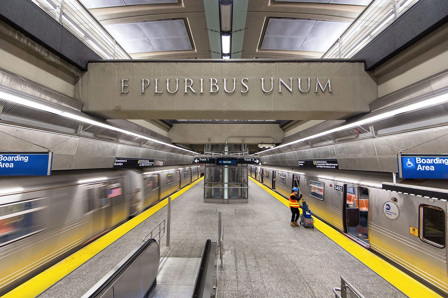
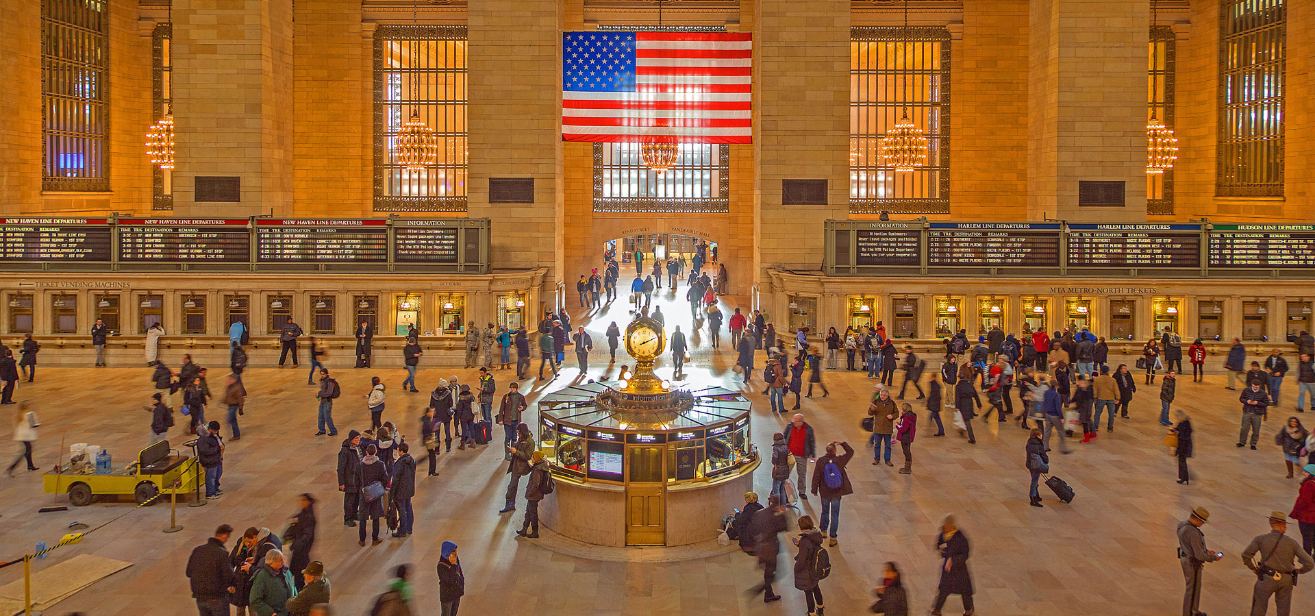
Leaders and high ranking individuals have always exerted their power by influencing the aesthetics around us. Grand Central is famous for its acorn and oak leaf motif, incorporated to please the Vanderbilts who used...
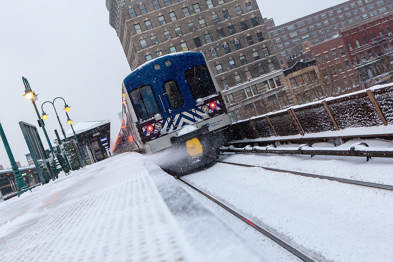
The New York area experienced its first real snowstorm of the season last night, and the frigid weather was a fabulous time to capture the flakes with a few trains. Enjoy a few photos...
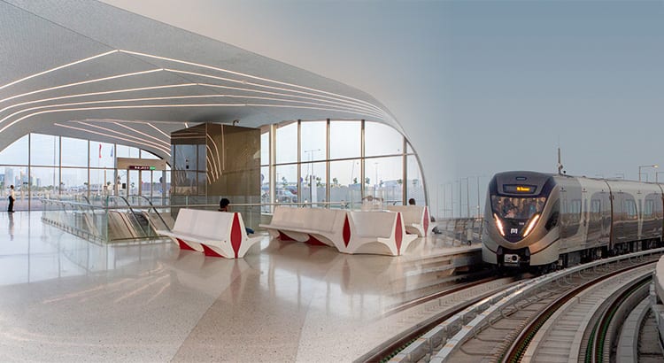
Although history and abandoned rail lines always seem to capture my interest, in a refreshing change of pace today we feature a brand new rail line in a country that up until earlier this...