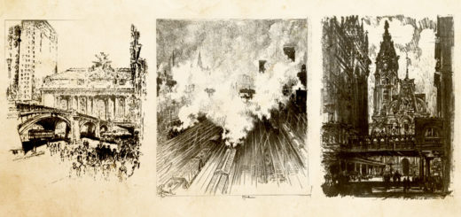
The railroad prints of Joseph Pennell
Every now and again I think back to my time in art school and some of the more interesting classes I attended while there. All students were required to take classes in disciplines like...

Every now and again I think back to my time in art school and some of the more interesting classes I attended while there. All students were required to take classes in disciplines like...
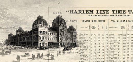
The earliest days of the New York and Harlem Railroad were ones fraught with hardship. As one of the earliest railroads in the United States, it was a guinea pig of sorts, a case...
In my previous story about the Jerome Park Branch, I mentioned that the next few articles would focus on the changes in the Bronx in the late 1800s. Not only is the time period...
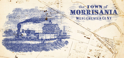
The last three decades of the 1800s were an interesting time for railroads running through the Bronx. With the Hudson River Railroad making moves to finally enter the east side of Manhattan, along with...
When someone brings up the topic of illuminated manuscripts, I tend to mentally picture an old monk sequestered in a monastery creating elaborate illustrations and fancy letters in a hand printed version of the...
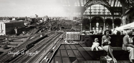
As a photographer, explorer, and now-New Yorker I’ve found myself curiously drawn to the work of Angelo Rizzuto. Anthony Angel, as he called himself, was a street photographer who captured the city from the...