Northern Lights over the Midwest’s High Bridge
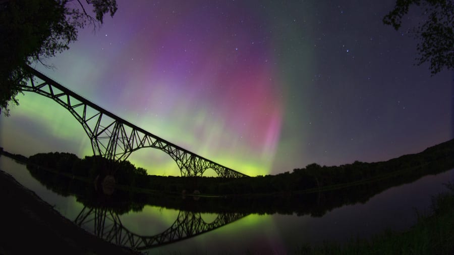
Several years ago you folks may remember I headed up to Alaska in February with the goal of catching the Northern Lights. While I did in fact see them, the effect was not quite...

Several years ago you folks may remember I headed up to Alaska in February with the goal of catching the Northern Lights. While I did in fact see them, the effect was not quite...
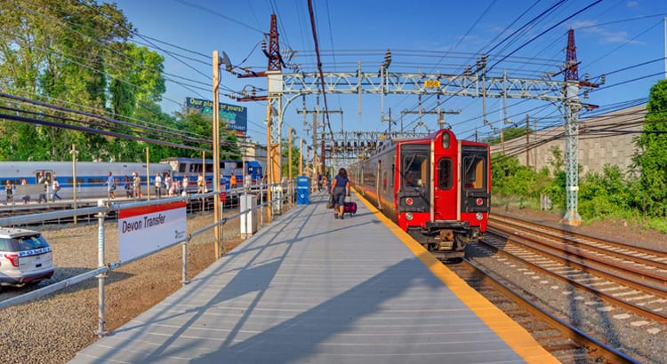
Giving Devon Transfer its own Tuesday Tour post may be a little bit of a joke, considering it is only a temporary station, nonetheless it is certainly worth a few minutes to check out....
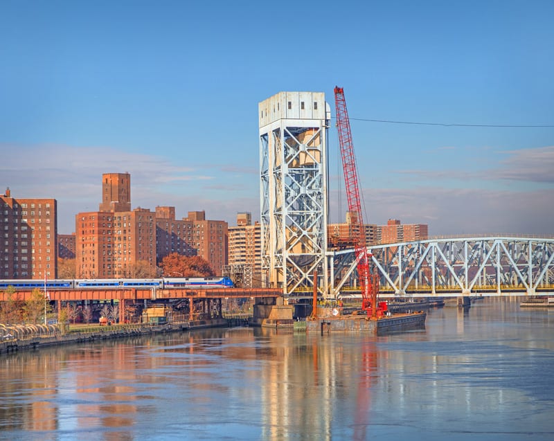
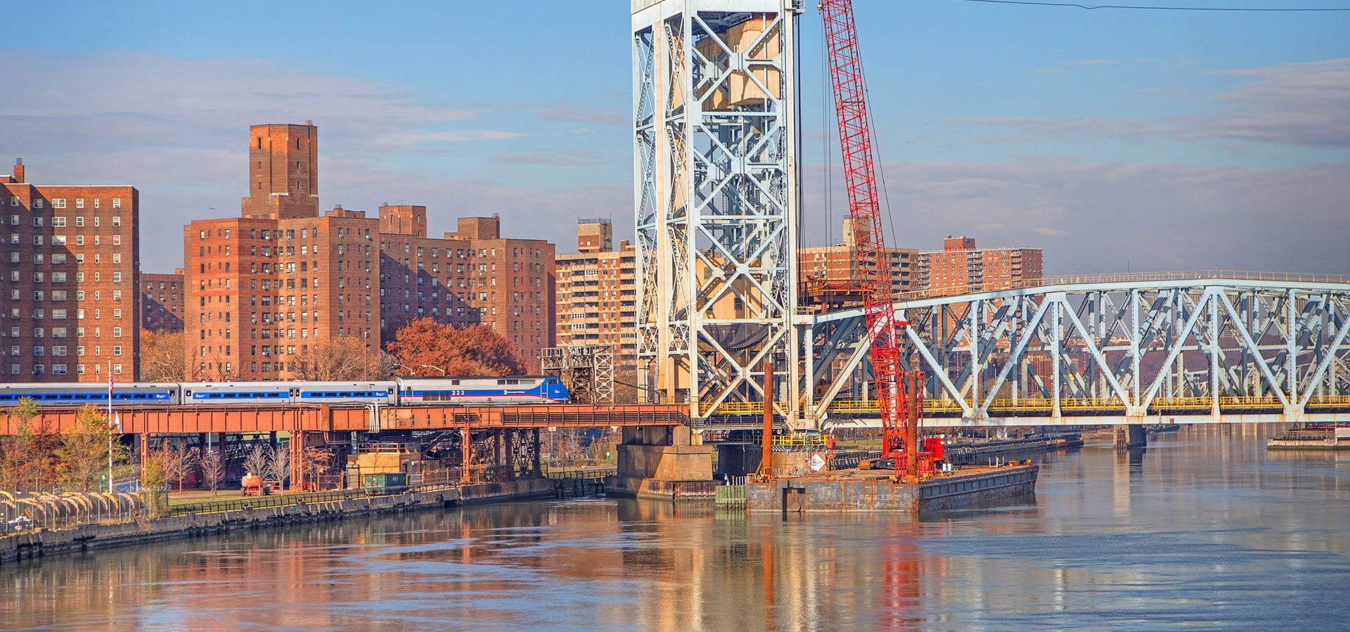
Throughout the entire Metro-North system there are an array of movable bridges – bridges which as of recently seem to be a thorn in the rail system’s side. Much of the infrastructure on these...
In Wednesday’s post regarding the Upper Harlem, we took a look at some of the first abandoned stations on the route, and remembered the Harlem Valley Transportation Association that worked diligently to prevent the...
1890 photo of the previous Poughkeepsie station. Note that this station was on the west side of the tracks, while today’s station was constructed on the east side of the tracks. 1960 photo of...
Early 1900’s panoramic view of the Stone Arch Bridge Several weeks ago when I interviewed Metro-North’s president, a few people (especially @CapnTransit on twitter) called attention to the question about Millerton – and specifically...