2014 in Photos – Your favorites from last year
As is customary around this time of year, it is always fun to look back on the previous year and what was popular. For the past few years I’ve counted down your favorite articles...

As is customary around this time of year, it is always fun to look back on the previous year and what was popular. For the past few years I’ve counted down your favorite articles...
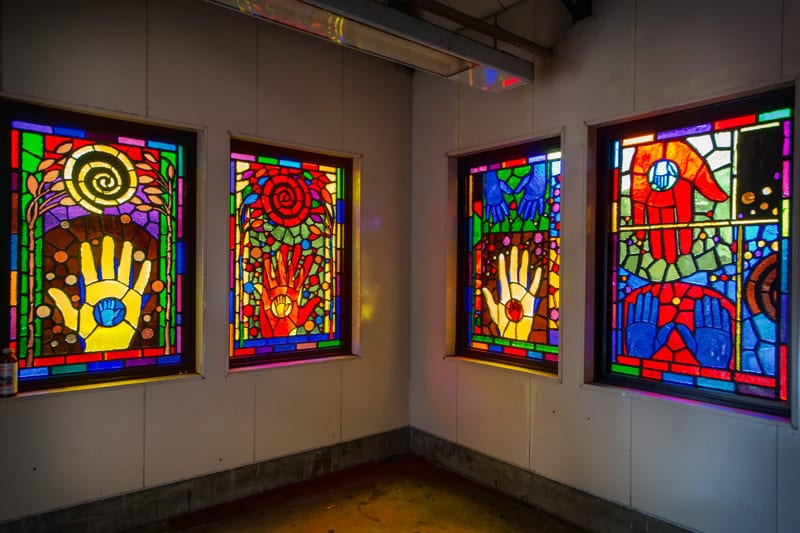
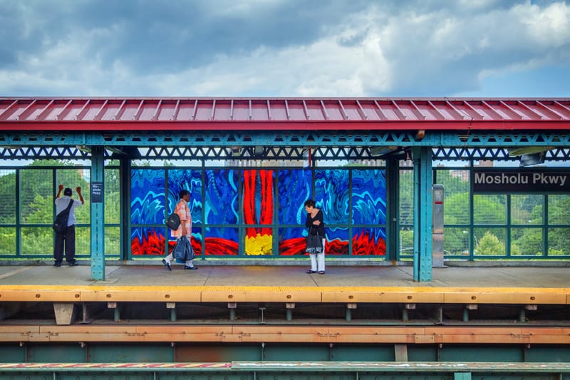
Continuing along on our tour of the 4 line’s Arts for Transit glasswork are five more stations – each with a unique piece of art that adds color to the urban landscape. 183rd Street...
As has been readily established on this blog, I’m not much of a fan of subways. The subterranean lack of light has never been of much intrigue to me, though I do find some...
You would think that the naming of a train station would be a rather simple and straightforward process… alas this seems to be far from true. If history has shown us anything, station namings...
  The old station at Marble Hill, pictured in 1927, and in 1946. As we’ve toured the Hudson Line, we’ve encountered several stations with fairly confusing backgrounds. There are stations that nobody seems to...
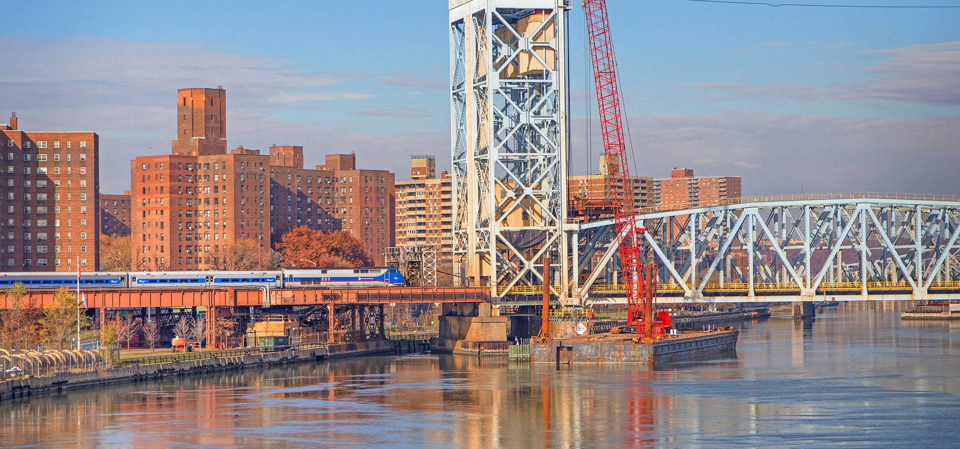
Today’s Hudson Line tour takes us back to the Bronx for a quick visit to University Heights station. Located just less than 9 miles from Grand Central, the station is situated between Morris Heights...